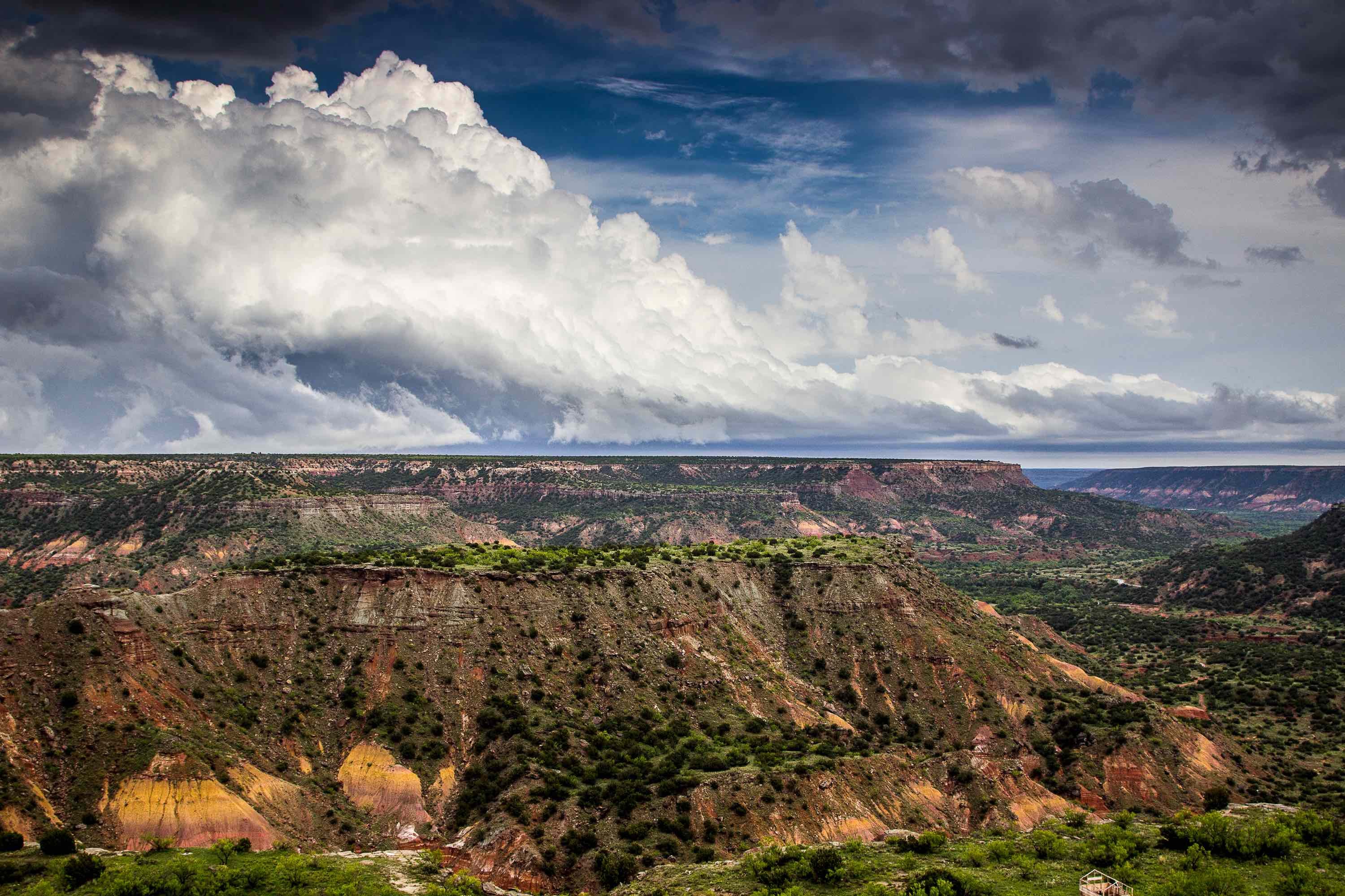
Drones in the Field
Drones, otherwise known as unmanned aerial vehicles (UAVs) or small unmanned aircraft systems (sUASs), are used as visual inspectors that can access and study locations that are normally difficult to access. Our drone inspection team is made up of licensed UAV pilots who control the vehicle and experienced camera operators who capture the visual data.
Not only do drones improve quality of measurement and mapping, buy they also yield faster results and deliver efficient data that helps streamline your workflow. Furthermore, the high quality imagery that is delivered helps to keep team members safe, as data is obtained without putting team members at risk. This service also provides precise data that is frequently more accurate than ground-based methods and it is often times more affordable when compared to other methods.
.jpeg?width=5456&name=DSC03190%20(1).jpeg)
Aerial Photography
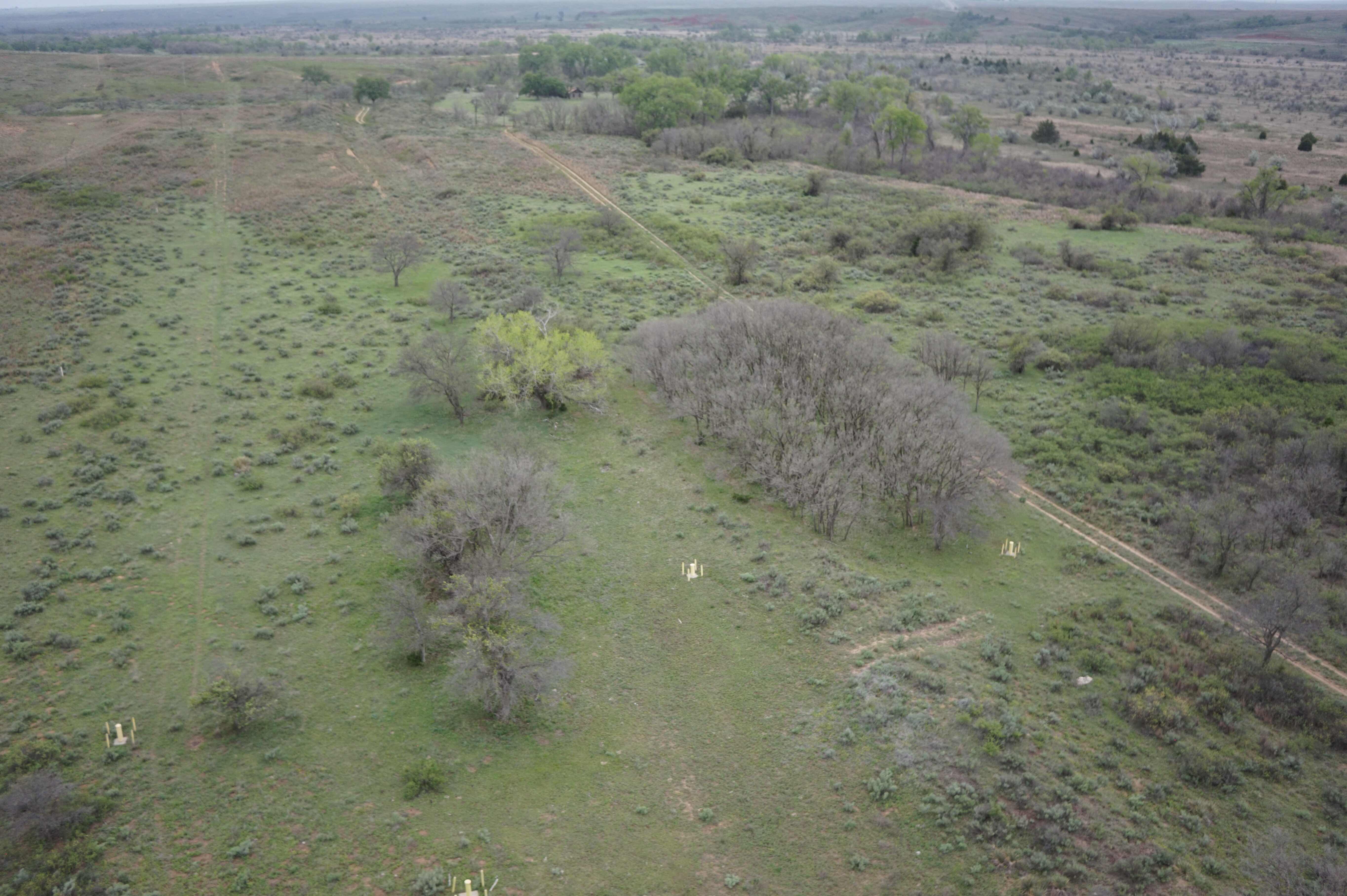
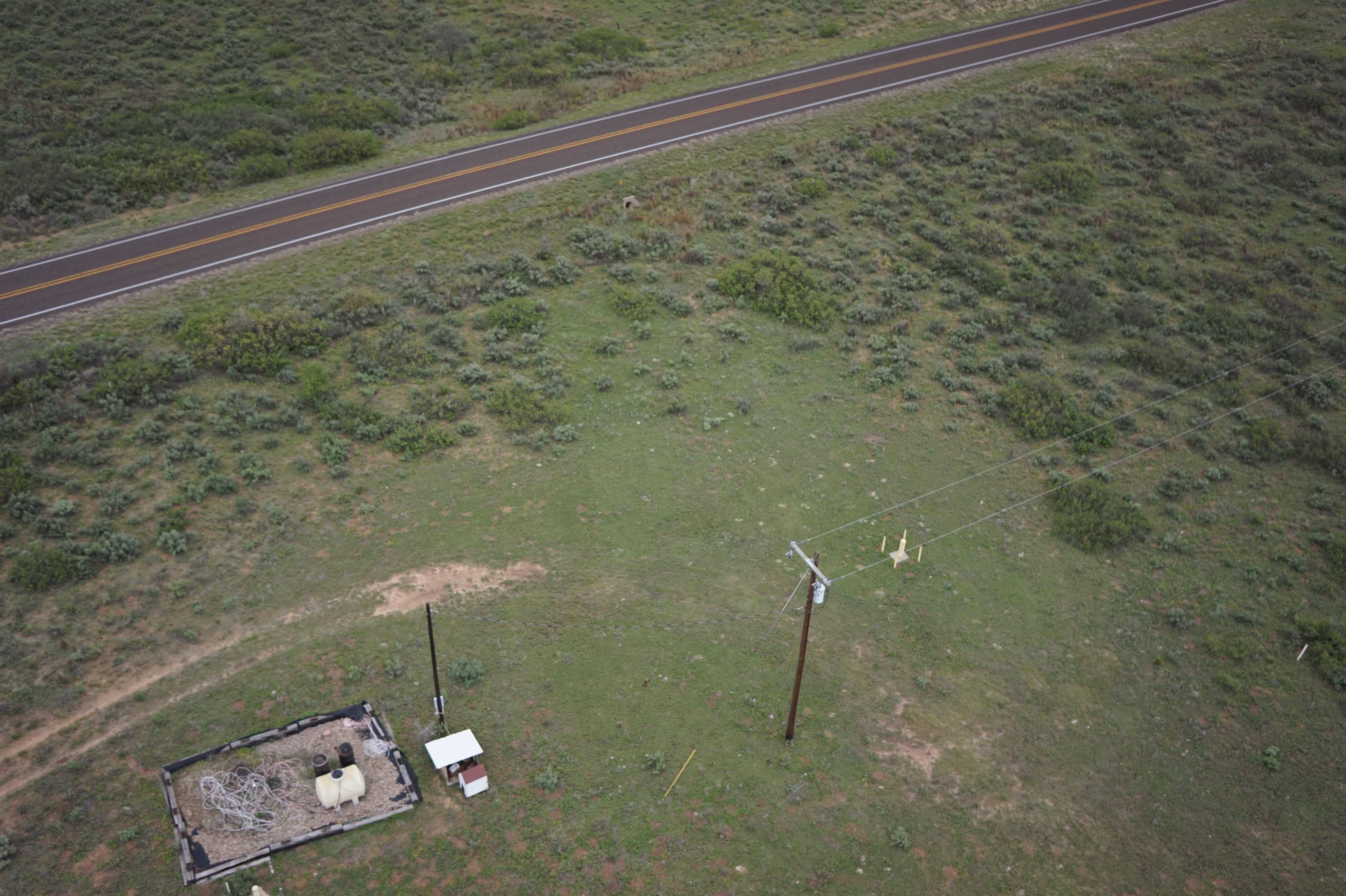
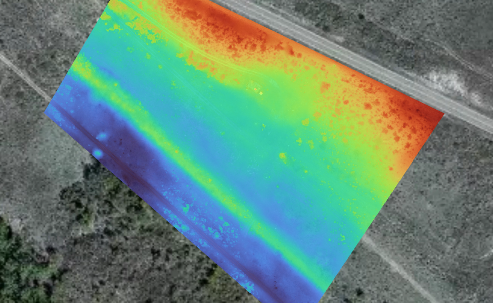
Our aerial photography provides survey grade image data with precise measurement. This includes all relevant geographical information for project design, development and execution. Our aerial photography also includes topographic mapping, 3D models, and thermal imaging.
Mapping
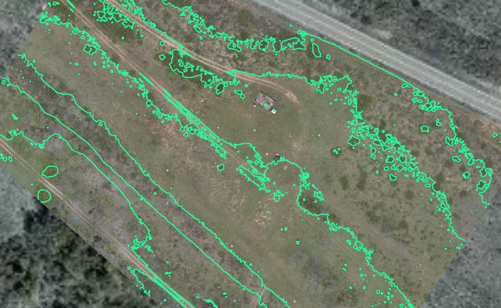
We perform mapping on any variation of terrain. This includes industries such as oil and gas, construction, farms, rivers and lakes, forests and urban development areas. Aerial drones can provide insight into tanks, gas leaks and impact mapping in the oil and gas industry and vegetation management and soil erosion in the wind energy industry. Furthermore, drones can provide many benefits for site logistics planning, monitor work and excavation measurement.

