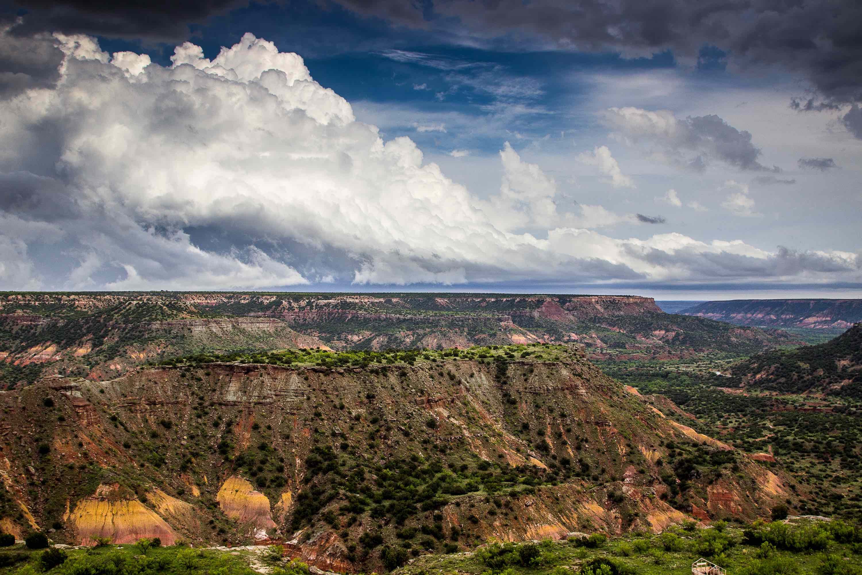
The Gulf Coast Aquifer is a major water provider along the shores of Texas. It stretches from the Louisiana/Texas border to the north to the Mexico/Texas border along the south, following the arc of the Texas coastline. The Aquifer is topped by the relatively flat, smooth expanse of the Coastal Plains.
What Makes Up The Gulf Coast Aquifer?
The Aquifer is a complex structure consisting of clays, silts, sands and gravels laid down in layers over millions of years.
The structure has four main water producing formations. The Catahoula is the oldest, with its beginnings far inland at the base of the Coastal Uplands. It slopes down and under some of the younger layers. On top of the Catahoula is the Jasper Aquifer in Oakville Sandstone. Above the Jasper Aquifer is the Burkeville confining layer, which keeps water from above formation from penetrating below. The third water-producing formation is the Evangeline Aquifer in the Fleming/Goliad sands. The upper most part is the Chicot Aquifer.
The Use And Abuse Of The Aquifer
A total of 54 counties receive all or part of their water from the Gulf Coast Aquifer. This includes major Texas cities like Beaumont, Houston, Galveston, Corpus Christi, and McAllen. The cities account for about 60 to 65 percent of the water pumped from the Aquifer. Another 25 percent is used for irrigation.
Water quality is considered good from the San Antonio River towards the northeast. Quality begins to deteriorate moving towards the southwest. Saltwater penetration has led to high salinity and/or high alkalinity levels. This makes the water unsuitable for prolonged irrigation. The water must be treated before humans can consume it. Even in areas of good water quality, overpumping has led to saltwater infiltration.
Municipal overpumping, especially around Houston and Galveston, has lowered Aquifer levels by up to 300 feet in certain spots. This has caused clays to compact and land to subside. The average compaction over the Aquifer is about 0.5 foot. However, some areas, like Houston, has seen a decline of nine feet or more in some spots. This has caused flooding and structural damage in the worst hit areas.
In recent years, many coastal communities have started using more surface water sources and pumping less out of the Aquifer. This has slowed down land subsidence significantly, and even reversed it in some cases. It has also allowed some portions of the Aquifer to start replenishing.
Drilling into the Aquifer requires specific knowledge of its unique geography and history. If you have a drilling project, get a hold of us here at Talon/LPE Drilling Services. We provide environmental drilling services throughout Texas, New Mexico, Oklahoma, and Kansas.

