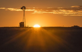
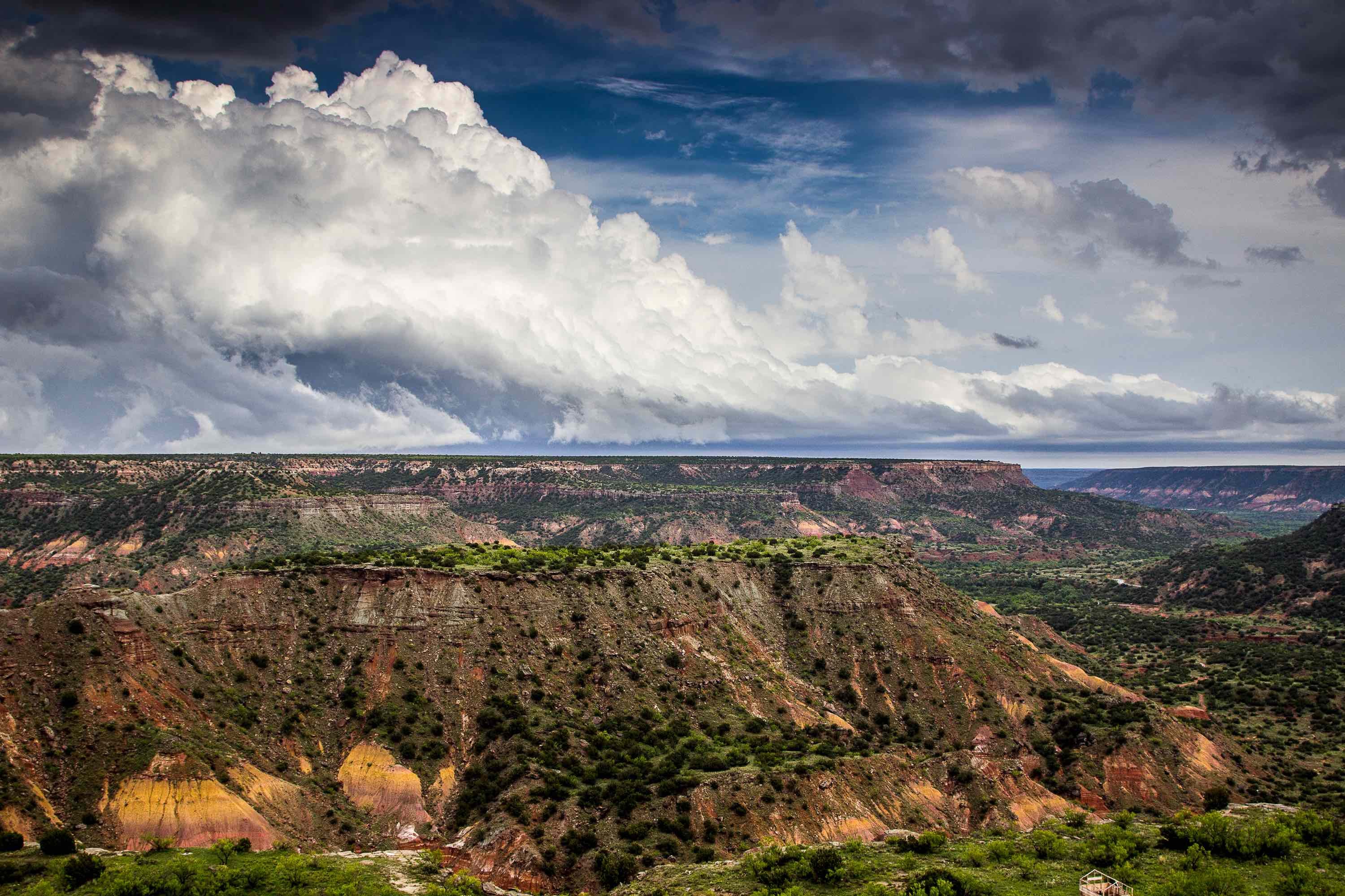
Geology knows no political boundaries. The landscapes of Texas, New Mexico, Oklahoma, and Kansas share many geological commonalities, yet have completely different landscapes.
Texas
Towards the coast of Texas, flat plains overlie young deposits and shallow water tables. The land rise up as it goes toward Dallas and San Antonio, both sitting atop limestone deposits.
As the land begins to rise towards the Guadalupe Mountains on the Texas-New Mexico border, you enter the Permian Basin, one of the richest gas and oil regions in Texas. Up towards the Panhandle, the land begins to flatten out as it rises to the High Plains, topped by young sediments covering much older layers. This is the southern boundary of the Ogallala Aquifer.
New Mexico
The eastern and southeastern parts of New Mexico have the same sedimentary layers as the High Plains of Texas. This is where the oil/gas industry has its biggest claim in the state. The Ogallala Aquifer's western edge lies just over the Texas-New Mexico border.
Moving towards the west and northwest, the land begins to rise into the Sangre De Cristos, Sacramento and Guadalupe mountains. The land drops down into the Rio Grande Rift, with young sediments from the surrounding mountains. The Rift gives way to higher mountain chains before the land flattens out at the Colorado Plateau in the Northwest.
Oklahoma
Coming up from the Texas Panhandle, the Oklahoma Panhandle is much the same. High Plains, flat land and sediments cover the Ogallala Aquifer with younger sediments over a much older base. Moving towards the east and southeast, the High Plains give way to the Gypsum Hills as the elevation goes down, ending in the flatter Red Bed Plains.
The land on the other side of the Red Bed Plains begin to rise again, through the Sandstone Hills, ending up on the Ozark Plateau. Along the southern part of the state bordering Texas is the sandy soil of the Red River Valley.
Kansas
The western part of Kansas looks much like the Texas and Oklahoma Panhandles -- flat land stretching over young sediments and much older strata. The Ogallala Aquifer spreads further east and north as it crosses Kansas. Moving to the southeast, the Great Plains give way to the undulating hills and the sandy sediments of the Arkansas River Lowlands.
The hills slope down to the Osage Plains, with rolling landscape and good water sources. This gives way to the higher uplifts of the Ozark Mountains.
Drilling
If you need to do any environmental drilling in Texas, New Mexico, Kansas, or Oklahoma, you need an experienced company. Contact Talon/LPE Drilling Services. We know the landscape in this part of the U.S.

