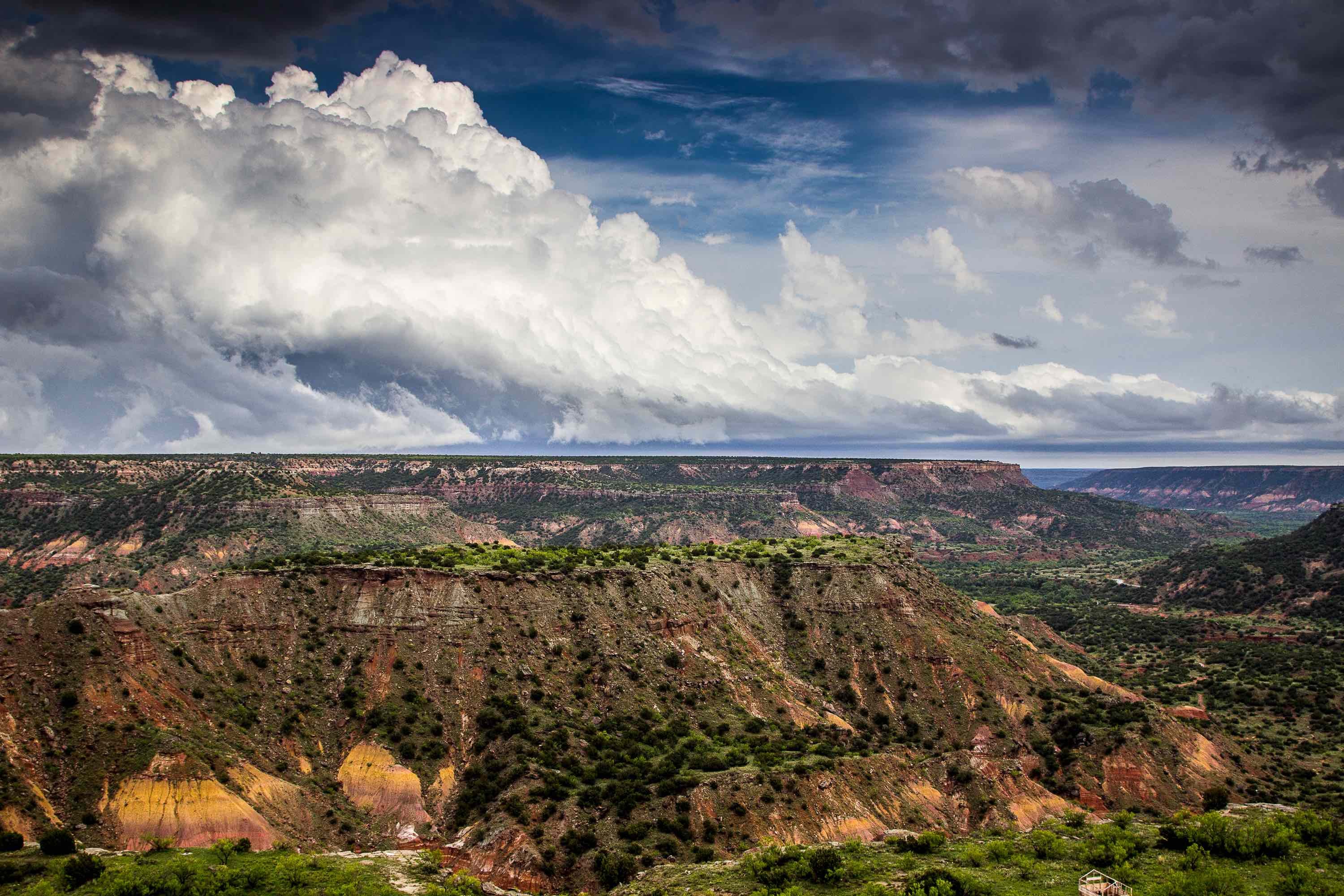
The Trinity Aquifer is a major source of water throughout the northeastern and central parts of Texas. It stretches from the Red River in the north to the eastern boundaries of Medina and Bandera counties. The Aquifer connects on its southwestern boundary with the Edwards-Trinity Plateau. The Plateau plays a major part in recharging the Trinity itself.
If you start peeling back the layers of the Aquifer, you will find that the Trinity has several distinct geological formations. These formations create smaller aquifers within the Trinity group. Depending on the formation and the location, these aquifers can contain limestone, sand, clay, gravel, and/or conglomerates. These different materials make it challenging to drill in the Trinity.
Drilling In The Trinity Aquifer
It is possible to hit five or more geological formations in a single borehole when drilling deep in the Trinity. Fresh water saturation goes from about 600 feet in the north to about 1900 in the south.
Younger formations form the first layers that a drilling crew needs to handle. These formations are usually a mix of sand and gravel, with some clay mixed in. This kind of soil limits the drilling rig options. Mud or air rotary drilling is not good in soil formations with loose materials. Direct push drilling or hollow stem augering is best in loose soils.
Going further down, limestone becomes more dominant. Limestone is not a super hard rock, like granite. However, it does offer structural stability that sand and gravel does not provide. When drilling through limestone, mud or air rotary rigs are a viable choice. In areas transitioning between gravel and limestone, a hollow stem auger is a good option. Direct push does not work well with limestone.
The Current State Of The Trinity
The growing population of central Texas has put an enormous pressure on the Trinity. Fresh water pumping along the Aquifer has caused water levels to drop 350 feet or more. This is especially true in the highly populated corridor between McLennan and Grayson Counties. Most of the drop comes from extensive municipal pumping, though other parts of the Aquifer are under pressure from agricultural and industrial pumping.
With the declining levels of the Trinity, many municipalities are taking more water from the surface and using less groundwater. This has already started to slow down the drain on the Aquifer, though it is still declining at an unsustainable pace.
Drilling in the Trinity requires specialized knowledge on the many varied formations and layers within the group. If you need to do any environmental drilling in the aquifer region, contact Talon/LPE Drilling Services.

