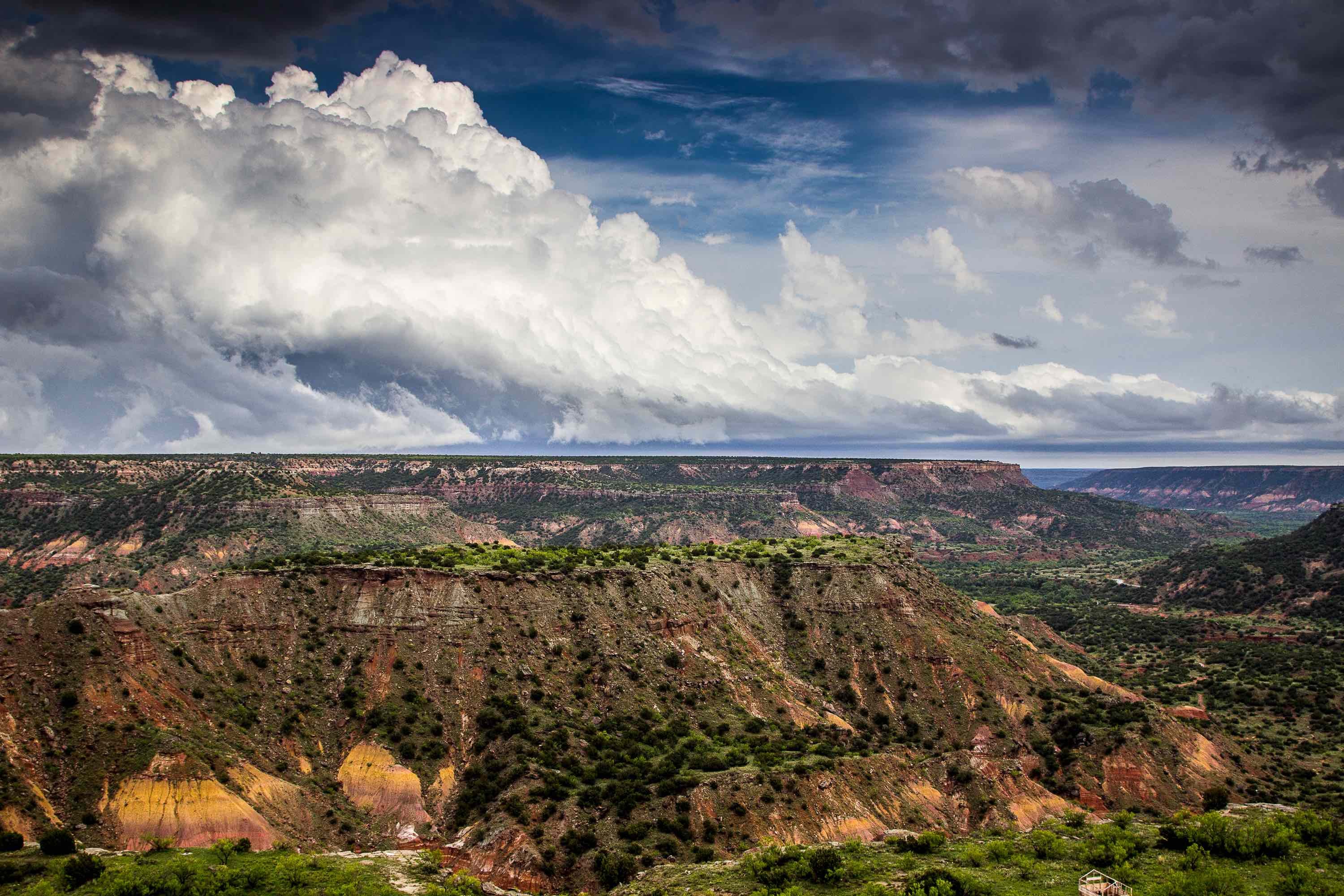
Spanning more than 8,500 square miles in West Texas and eastern New Mexico, the Pecos Valley Aquifer is a major source of water for 12 of Texas's counties. Four-fifths of the water pumped from this aquifer is used for irrigation; the rest of it goes to municipal systems, power plants, industry and to supply oil and gas drilling operations. The aquifer overlaps with the Pecos River, one of the largest rivers in the United States and a major source of water for both Texas and New Mexico.
Composition
The Pecos Valley Aquifer is made up of 1,700 feet of alluvial sediment formations, which range from more than 60 million years in age to less than one million. Geologists separate these formations into two main bodies: the Monument Draw Trough in the east and the Pecos Trough in the west, both of which range from north to south. The aquifer's maximum thickness is 1,500 feet, though the areas that are saturated with fresh water average only 250 feet in thickness. Water-saturated thickness increases in the western and central portions of the aquifer.
Water quality in the aquifer varies wildly by location and geologists still suffer from a lack of detailed information on the water's chemistry. In general, however, the water is hard, containing traces of silica, iron, sulfate, chloride, arsenic and radionuclides. Total dissolved solids concentrations range from less than 300 parts per million to more than 5,000. Water quality is generally higher in the Monument Draw Trough than in the Pecos Trough. The aquifer has become harder and less suitable to drink over the past few decades due to oil and gas drilling and poor irrigation practices.
Hydrology
The Pecos Valley Aquifer is hydraulically connected to the nearby Edwards-Trinity Aquifer, the Rustler Formation, the Toyah Aquifer, the Dockum Group and the Allurosa Aquifer. It is estimated to contain 15 million acre-feet of fresh water, as well as 85 million acre-feet of brackish water and 1 million acre-feet of highly saline water (i.e. water that contains more than 10,000 milligrams of total dissolved solids per liter).
During the 1970s, the aquifer experienced water level declined as much as 200 feet in Reeves and Pecos counties. These levels have since stabilized due to decreased drilling for irrigation. Ward County, however, continues to experience declines as a result of drilling for municipal and industrial purposes. In recent years, local authorities have considered desalinating brackish groundwater to meet rising demand, but have been unable to do so due to a lack of detailed hydrological information.
Thinking about drilling in the Pecos Valley Aquifer? Talon/LPE Drilling has all the tools you need to build safe, eco-friendly wells. For more information, contact us today.

