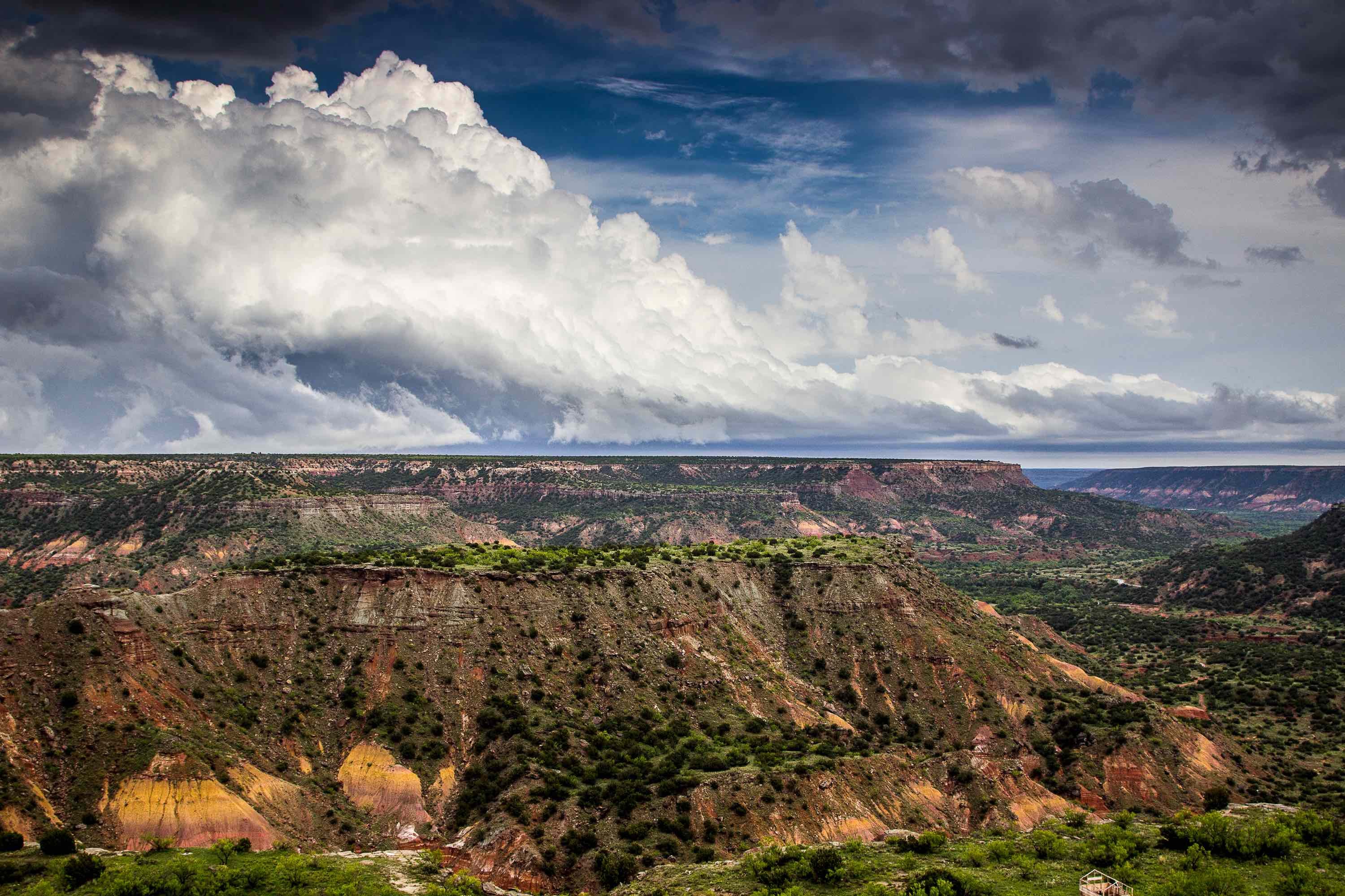
Located in the Trans-Pecos region of Texas, the Rustler Aquifer provides water to Loving, Ward, Reeves, Cluberson, Jeff Davis, Pecos, and Brewster counties. The aquifer's water is primarily used for irrigation and livestock supply, though it is also an important source for oil field flooding. It exists within the Permian Formation, a geological landmark of Texas that is nearly 300 million years old. Portions of it also overlap with the Salado Formation, an evaporite deposit that is more than 250 million years old, and with the Delaware Basin, the Val Verde Basin, and the Central Basin Platform. Its downdrip regions, which are mostly located in Reeves and Pecos counties, are confined within the Permian Dewey Lake Redbeds.
Composition
The Rustler Aquifer is made up of gypsum, anhydrite, basal sand, sandstone, limestone, dolomite, siltstone, and shale. It also contains small quantities of rock salt. The aquifer's thickness ranges from 250 to 670 feet. It becomes thinner in the regions near the Central Basin Platform, the Val Verde Platform, and the eastern part of the Delaware Basin.
Although certain portions of the aquifer produce freshwater, the vast majority of this water is not suitable for human consumption unless it is treated. The water is mildly to moderately saline, and contains between 1,000 and 4,600 milligrams of total dissolved solids per liter; this is well in excess of the Environmental Protection Agency's guidelines for safe drinking water. The total dissolved solid content of the water is highest in the eastern parts of the aquifer. Most of the solids dissolved in the water are calcium and sulfate. According to the EPA, excess sulfate consumption can cause diarrhea.
Hydrology
Most of the Rustler's water comes from precipitation, irrigation return flow, and water flow from the nearby Captain Reef Complex Aquifer and the Glass Mountains. Some of this water later flows out of the aquifer and ends up in the Edwards-Trinity and Pecos Valley aquifers. Most wells in the Rustler Aquifer provide only modest water yields, usually no more than 300 gallons per minute. Yields vary wildly by location, however, and at least one well in Pecos County has been known to yield more than 4,000 gallons per minute. The aquifer as a whole yielded 300,000 gallons of water per day in 1985.
Water levels in the Rustler aquifer vary by location, being lowest along the Pecos River where the Crane, Pecos, and Ward county lines intersect. These water levels generally reflect long-term patterns of water use.
Interested in drilling for water in the Rustler Aquifer, or expanding a well that you already have? Talon/LPE Drilling Services offers drilling operations and products to fit all your aqueous needs. To learn more, contact us today.

