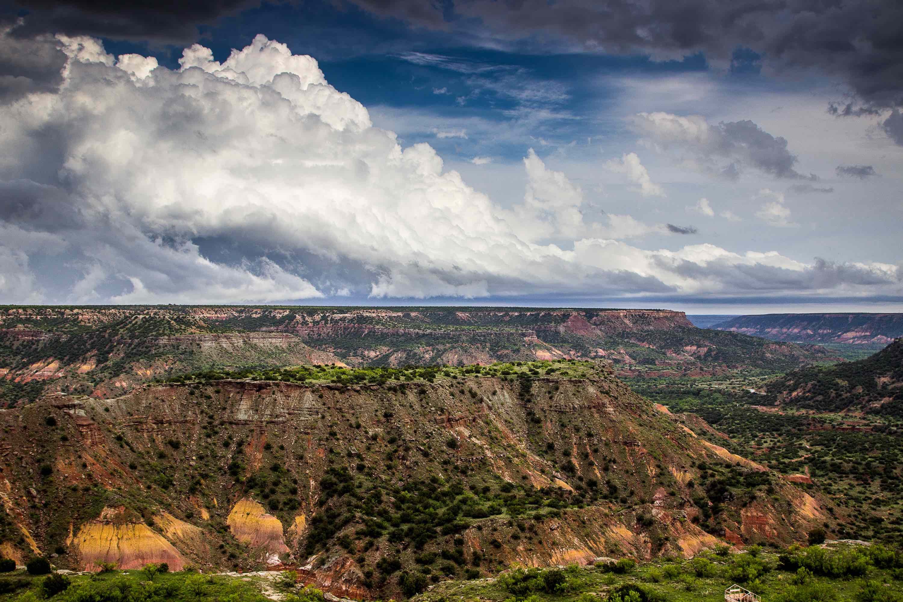
Located on the edge of the Texas Panhandle, the Rita Blanca Aquifer provides water to Dallam County; it also spans Hartley County, though Hartley residents do not use its water. The aquifer is primarily used for irrigation. It is also a major source of water for the town of Texline. The aquifer is located within the Ogallala Formation, a major geological formation that spans Texas, Oklahoma, New Mexico, Colorado, Kansas, Nebraska, Wyoming, and South Dakota. The portions of the Ogallala that make up the Rita Blanca aquifer are the Mesa Rica, the Lytle Sandstone, the Romeroville, the Morrison Formation, and the Exeter Sandstone. All of these structures date back at least as far as the Cretaceous Era.
Composition
The Rita Blanca aquifer is made up of clay, shale, conglomerate, limestone, and fine- to medium-grain sand. The aquifer's thickness ranges as high as 250 feet, though the portions that are saturated with water average only 180 feet. Thickness increases in the portions that overlap with the nearby High Plains and Dockum aquifers.
Most of the Rita Blanca's water is fresh, containing less than 1,000 milligrams of total dissolved solids per liter of water. Certain portions of the aquifer, however, are saline, containing more than 1,000 milligrams of total dissolved solids; this makes them unsuitable for irrigation. The water is also very hard, meaning it contains large quantities of minerals, most of which are harmless.
Hydrology
The Rita Blanca gains most of its water through lateral flow from nearby aquifers in New Mexico and Colorado, as well as from the High Plains Aquifer. The aquifer's recoverable storage is not yet known. Wells in this aquifer are highly productive, with yields as great as 500 gallons per minute. Yields are highest around the Lytle Sandstone and Mesa Rica portions of the aquifer. In 1985, the aquifer was producing nearly 5 million gallons of water each day, most of which local farms used for irrigation.
Water Conservation
In recent years, Texas authorities have grown concerned with declining water levels in the Rita Blanca Aquifer. In some areas, water levels have decreased by as much as 50 feet. Many of Dallam County's streams have dried up as a result. In response, the Panhandle Water Planning Group has launched an effort to conserve the Rita Blanca's water. It has limited local developers to withdrawing no more than 1.25% of the saturated portions of the aquifer, with the goal of having at least 40 percent of the aquifer's storage remain within 50 years.
Interested in drilling for water in the Rita Blanca Aquifer? Talon/LPE Drilling Services offers safe, affordable, sustainable drilling operations and products for extracting water, oil, and other materials. For more information, contact us now.

